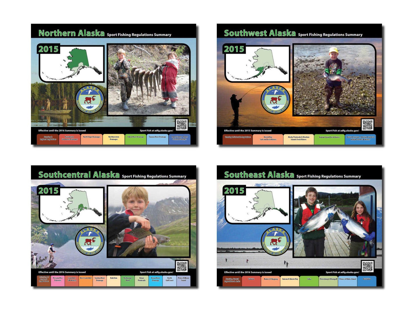
In 2012 I was hired by the Alaska Department of Fish & Game and began a project to redesign the department's Sport Fish Regulation Summary booklets. Once the design parameters were decided on, each book would be upgraded to the new design as regulation changes were made during the normal 3-year regulation review and writing cycle. Historically, the regulatory information had been conveyed in tables, but over the years as new regulations were added, the tables became cumbersome and difficult to understand. It was decided to move to a text and map based system where regulations were written out in consistent, easy-to-understand language for each individual area or water body, and illustrated with clear and concise maps.
In 2014 I felt we needed a new cover design to communicate visually that the books had changed internally, additionally, there were many inconsistencies between the covers of the different regions that could also be addressed by a new design. Another issue that I saw was in the naming of the regions themselves. In 2013 there were five regional regulation summaries:
1) Southcentral
2) Southeast
3) Bristol Bay Drainage
4) Kodiak Island, Alaska Peninsula, Aleutian Islands
5) Region III: Arctic-Yukon-Kuskokwim and Upper Copper/Susitna River Regulatory Areas
I lobbied for several changes. First, the Bristol Bay Drainage and Kodiak Island, Alaska Peninsula, Aleutian Islands books were only 16 pages long, the first 8 pages of each book were identical, and the regions were geographically adjacent to each other. I suggested that we combine the two regions into one bigger book and call it the Southwest book. Secondly, the Region III: Arctic-Yukon-Kuskokwim and Upper Copper/Susitna River Regulatory Areas book’s name seemed overly complex and inconsistent with the other region’s names, so I suggested it become the Northern book. Thirdly, I asked for more photography space. The photographs accomplished two goals. They were visually appealing, and provided a break for the eyes from the text, and they also serve as place holders for layout space for future regulatory text if necessary. Additionally, I designed an integrated page tab and header system that freed up about an inch of vertical page space and made navigating the books easier. Lastly, I produced a number of new illustrations and graphics. My changes were adopted and the rest is history.
Each regional cover was given its own color. I chose a regional landscape photo to serve as a background. The inset photo was the winner of a regional photo contest held by the department. Additionally, an inset map in the regional color illustrated the regions location and boundaries within the state. Lastly we added a QR code that linked directly to the Alaska Division of Sport Fish homepage.
Southcentral Region, 96 pages, 4 color print on superbright newsprint.
Example pages
Integrated, region specific color page tabs and headers, save space and aid document navigation.
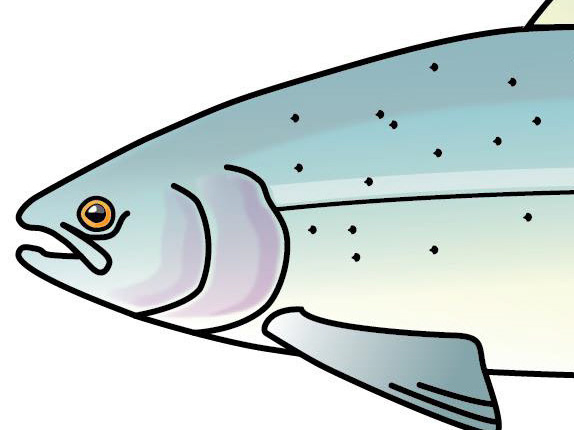
Large maps, photos and graphics increase usability and visual appeal, but also serve as placeholders for additional or revised regulatory text within the future document layout. Most of the photography comes from division biologists and staff, members of the public, and a few from me. Like this picture of Cordova, Alaska below. I am very proud of the species identification pages I redesigned in 2014 with a few modifications in 2015 and 2016.
Large area maps orient anglers and help to direct them to the correct area, or regional booklet for geographically adjacent areas.
Southeast Region, 48 pages, 4 color print on superbright newsprint.
Complete book here:
Example pages
Northern Region, 48 pages, 4 color print on superbright newsprint.
Example pages
.
Infographics are great for conveying regulatory information visually. I'm proud of this simple pike slot limit graphic below that I created for the Dall River.
Southwest region, 40 pages, 4 color print on superbright newsprint.
Complete book here: http://www.adfg.alaska.gov/static/regulations/fishregulations/PDFs/Southwest/2016SWCompleteBook.pdf
Example pages
Alaska Fish & Game's southwest region conserves some of the world's greatest rainbow trout fishing. Here we used patterns and color coding on the maps to visually convey regulations regarding dates of seasons, species, and geographic restrictions.

